Nous construisons des technologies pour analyser chaque événement sur terre.

QU'EST-CE QUE SOLAFUNE
Solafune développe des technologies d'analyse de données satellites et géospatiales. Les données satellites et leurs technologies d'analyse sont utilisées pour l'agriculture, l'analyse des catastrophes, la surveillance des ressources, la finance, la défense, le marketing, l'assurance et plus encore.
NOS SERVICES


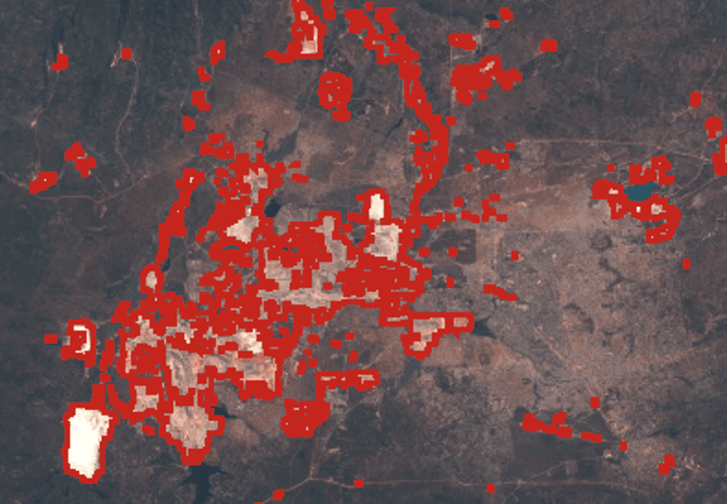
Mining & Mineral Exploration / Illegal Mining Detection
Disaster Management & Monitoring / Landslide Detection
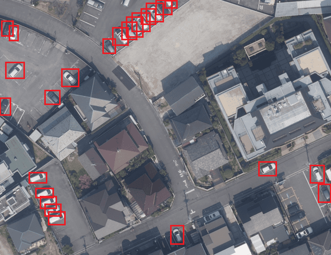
Traffic Management / Vehicle Detection & Tracking

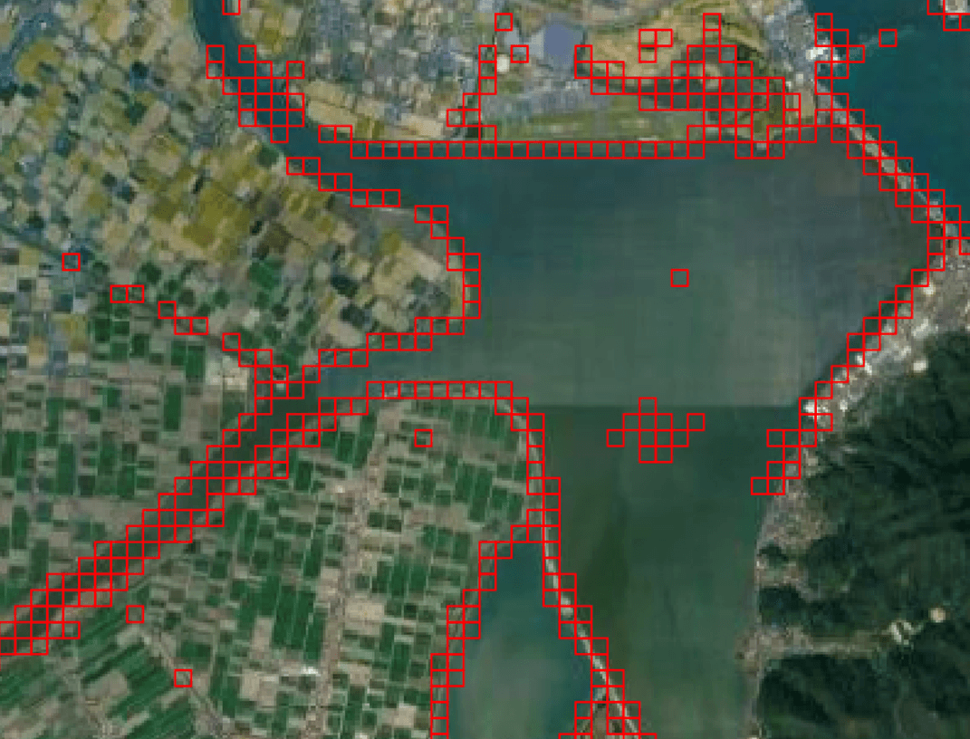
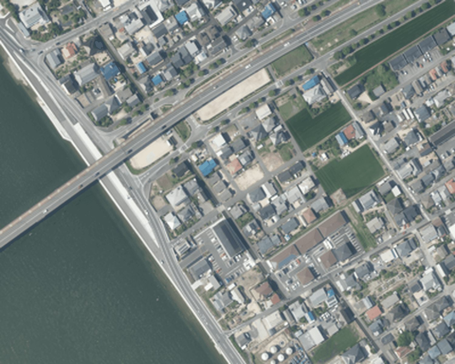
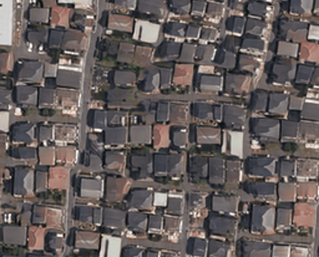
Urban Planning / Building Detection
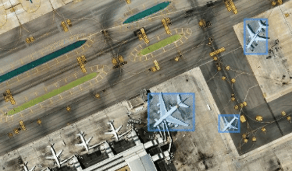
Defense Applications / Aircraft Detection

New Technology / Super Resolution
New Technology / Generative AI
Nous coopérons avec de grandes entreprises

NOS DERNIÈRES NOUVELLES

Solafune’s Research and Analysis Featured in the National Institute for Defense Studies “NIDS Perspective”
Solafune’s Research and Analysis Featured in the National Institute for Defense Studies “NIDS Perspective”
Apr 7, 2026
6
MIN DE LECTURE

Solafune Raises Over $30 Million in Series A Funding
Solafune Raises Over $30 Million in Series A Funding
Mar 10, 2026
5
MIN DE LECTURE
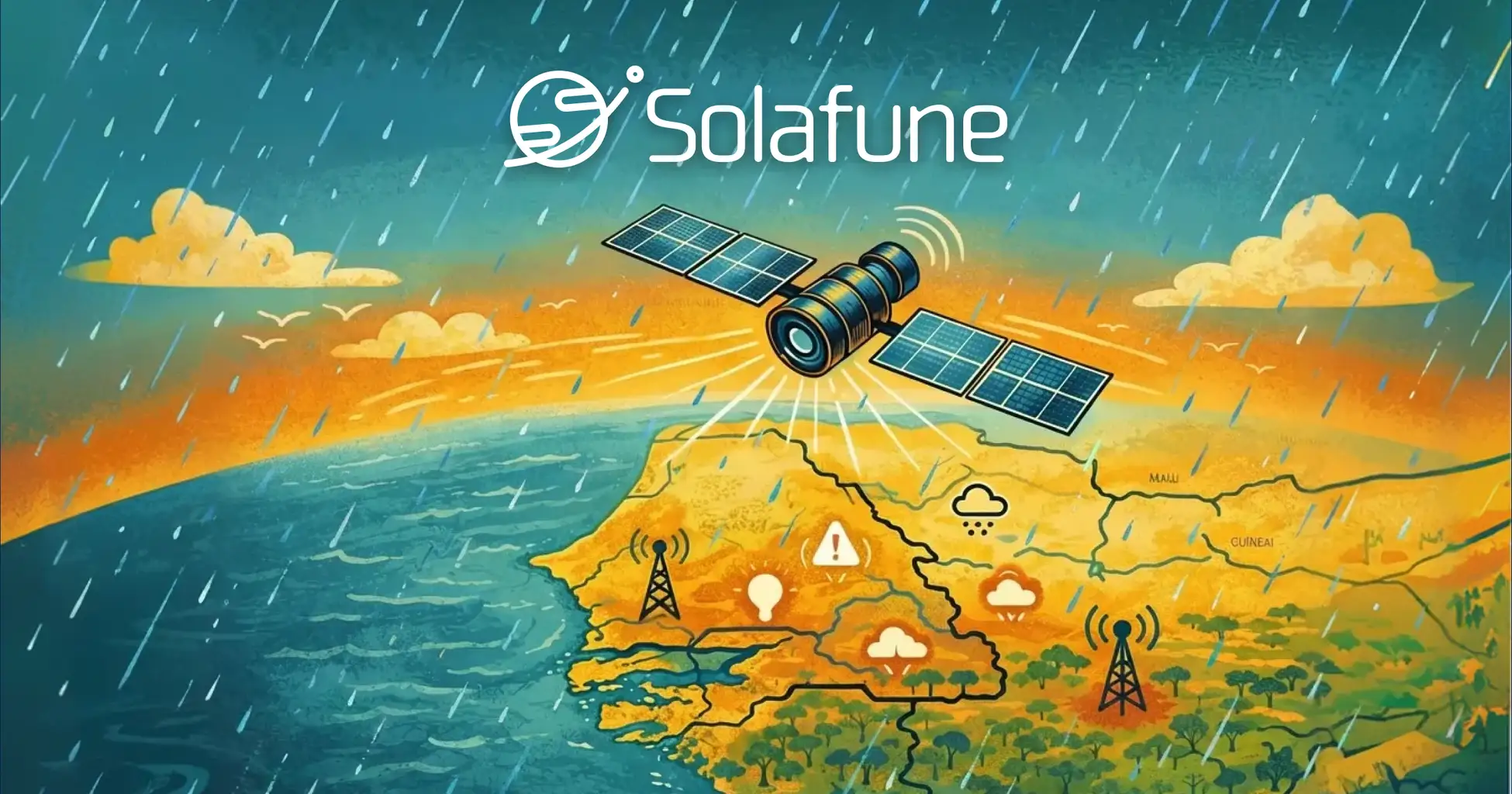
Solafune Selected for Japan METI FY2024 Global South Subsidy for Senegal Flood Forecasting Project
Solafune Selected for Japan METI FY2024 Global South Subsidy for Senegal Flood Forecasting Project
Feb 13, 2026
1
MIN DE LECTURE
Latest Blogs

Tech Blog: Super Resolution Release
We’re excited to release the 5× super resolution model developed during our recent super resolution competition. You can now train your model using our public codebase or deploy the first-place winning solution directly to enhance your remote sensing images.
R&D
Aug 18, 2025
10
MIN READ

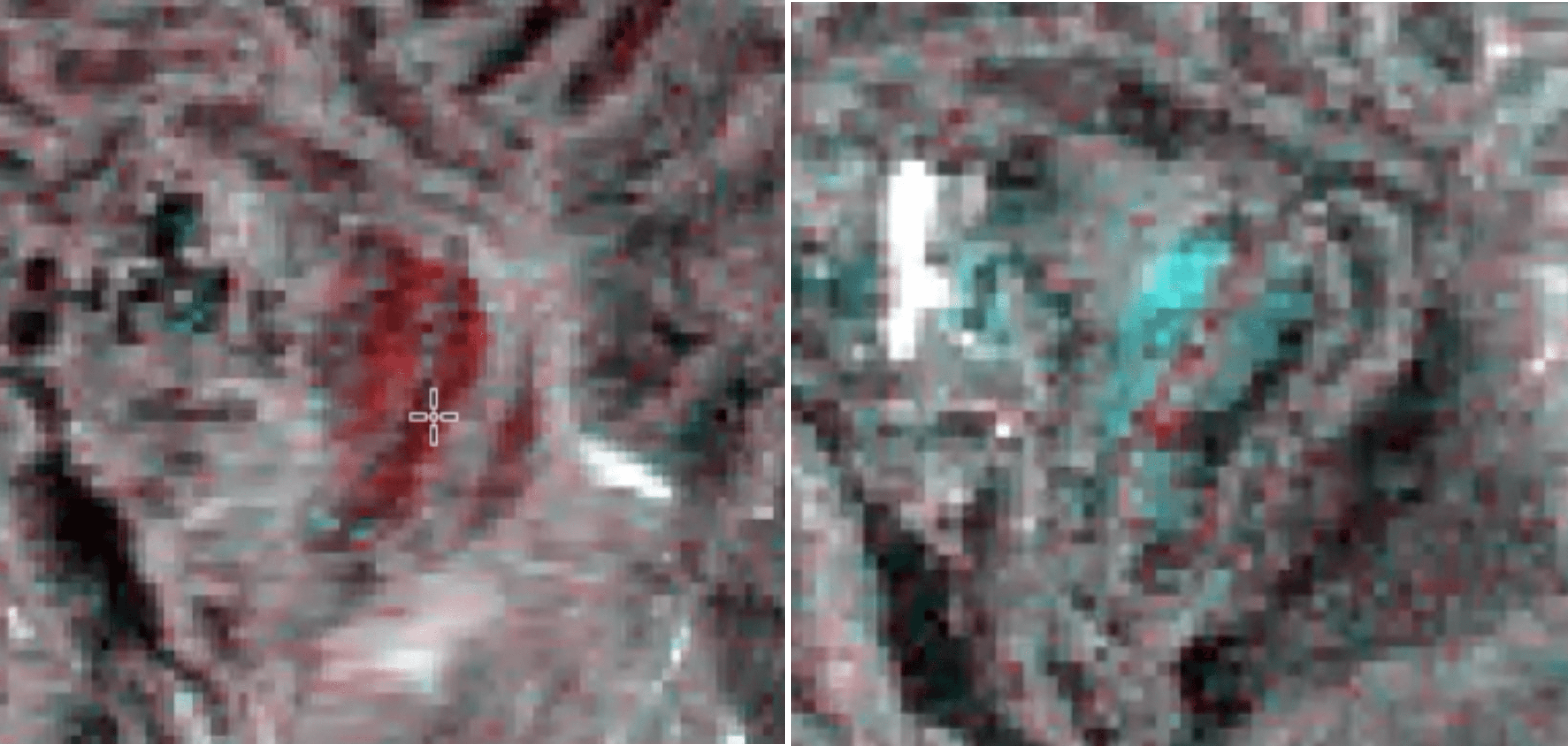
Precision in Motion: Unveiling Subtle Ground Shifts with InSAR’s Millimeter Accuracy
This study tracks ground shifts at Sakurajima volcano using Sentinel-1 SAR and SBAS with millimeter-level precision.
R&D
Apr 8, 2025
12
MIN READ

Building Country-Scale Basemaps with Sentinel-2 Imagery: A Memory-Efficient Approach
See through the clouds: a practical guide for creating unobstructed basemaps.
R&D
Feb 3, 2025
6
MIN READ